Irish Storytelling: Complex History Represented in Ireland's Landscape and Communities
Grounded in attentive observation and respect for place, Irish Storytelling considers the designer’s role as both listener and storyteller—interpreting the clues embedded in natural and cultural landscapes to guide thoughtful and responsible stewardship.
The MKSK Trek Fellowship is a funded travel and research program open to MKSK professionals to explore critical issues in design, landscape, planning, and urbanism.
Objectives
Understand the role of storytelling in Ireland’s rich and complicated history.
Experience Irish storytelling strategies deployed through landscape design and planning.
Significance
Seanchaí is an Irish word for a traditional storyteller and historian, or a reciter of ancient lore. Like the United States, Ireland has a deeply layered and often complicated history, but it also has a rich understanding of storytelling. From ancient folklore to legendary writers and poets, the Irish have a unique and approachable way of sharing their stories. Through this Trek Fellowship we seek a better understanding of the role landscape design and planning have in weaving a clear and powerful story that represents the people who have connected with the land, spanning infinite generations. As the United States continues to evolve, landscape planning and design can become a powerful tool in telling the story of a diverse, vibrant, and sometimes troubling story. MKSK and the design profession have an opportunity and responsibility to support communities in finding and celebrating their identifiable stories.

Areas of Study
Heritage Landscapes
Ireland holds three UNESCO World Heritage Sites, which are specially recognized landmarks and spaces around the world with legal protection under international treaties. These unique places have been determined to have cultural and/or natural significance and considered to be of the most outstanding value to humanity. In addition to legal protection, these world heritage sites unlock additional funding to preserve the history and enhance visitor experience. Two of these sites were studied as part of this Trek about Ireland.
Brú na Bóinne, County Meath
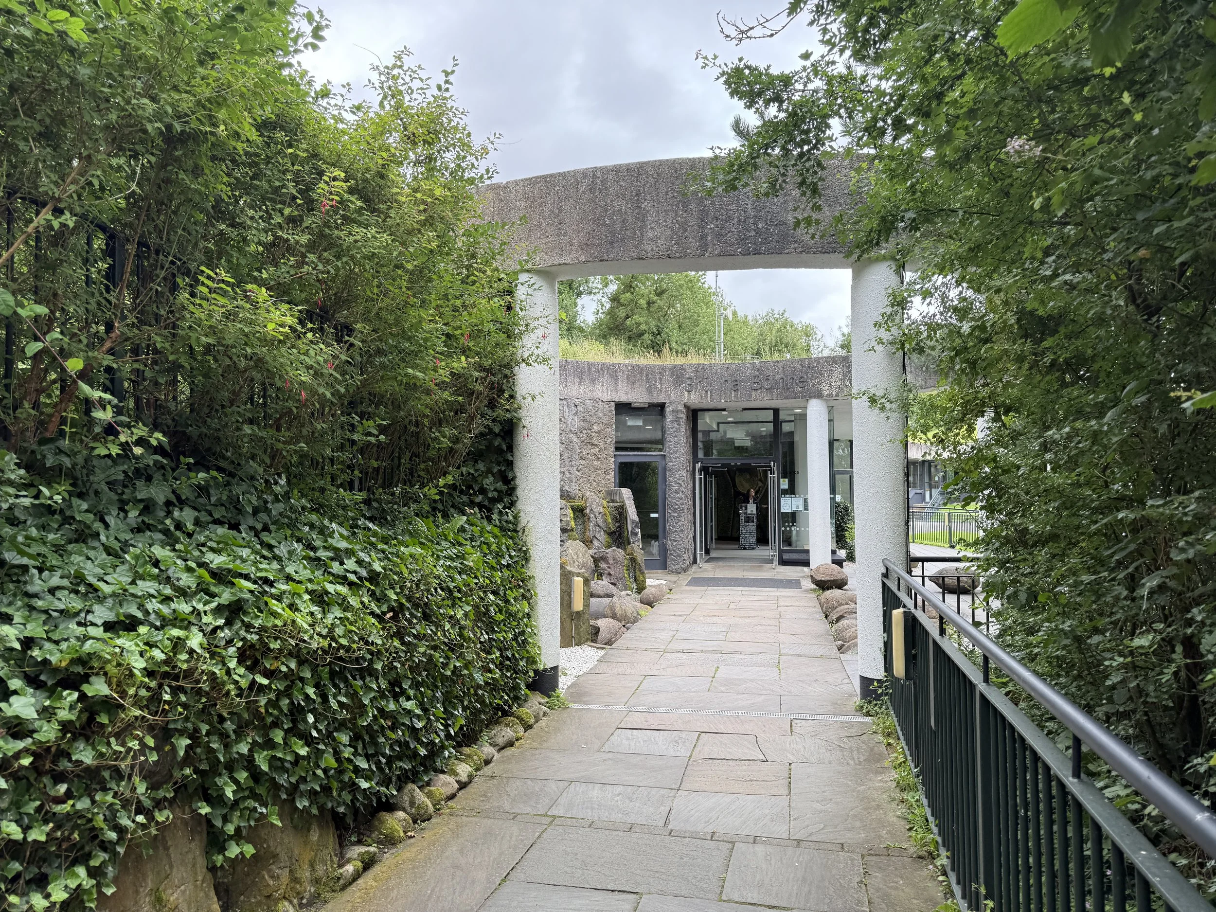
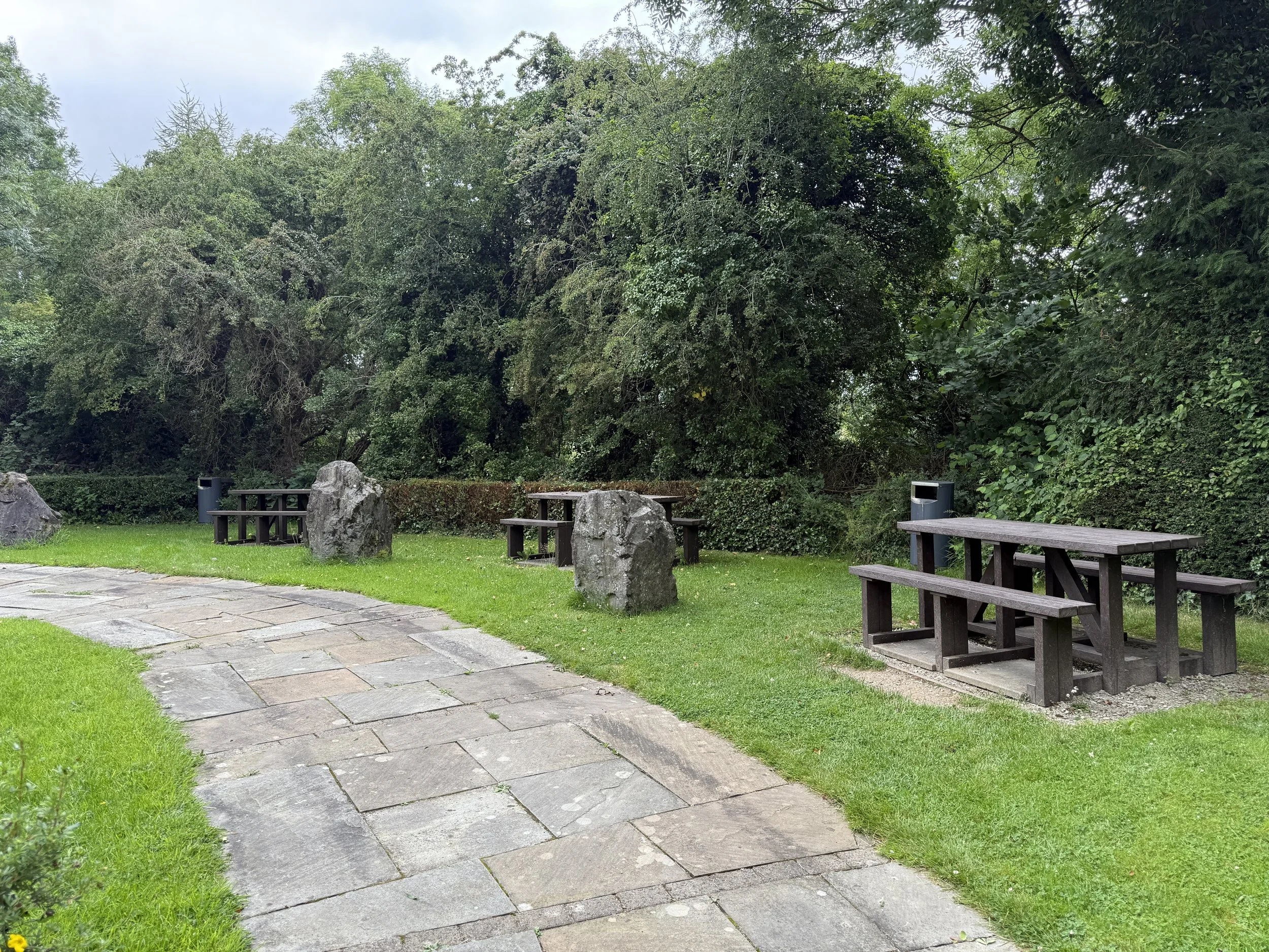
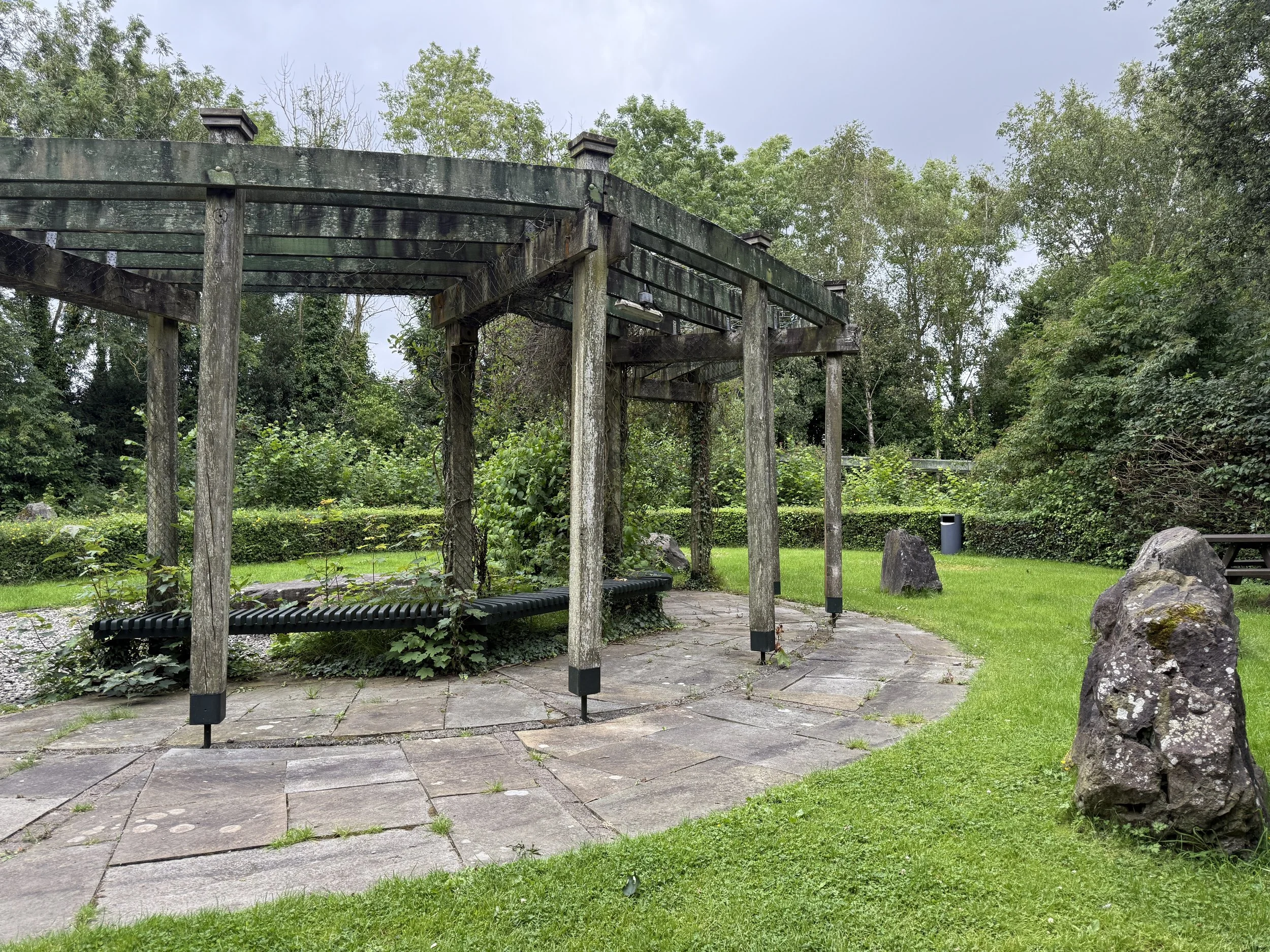
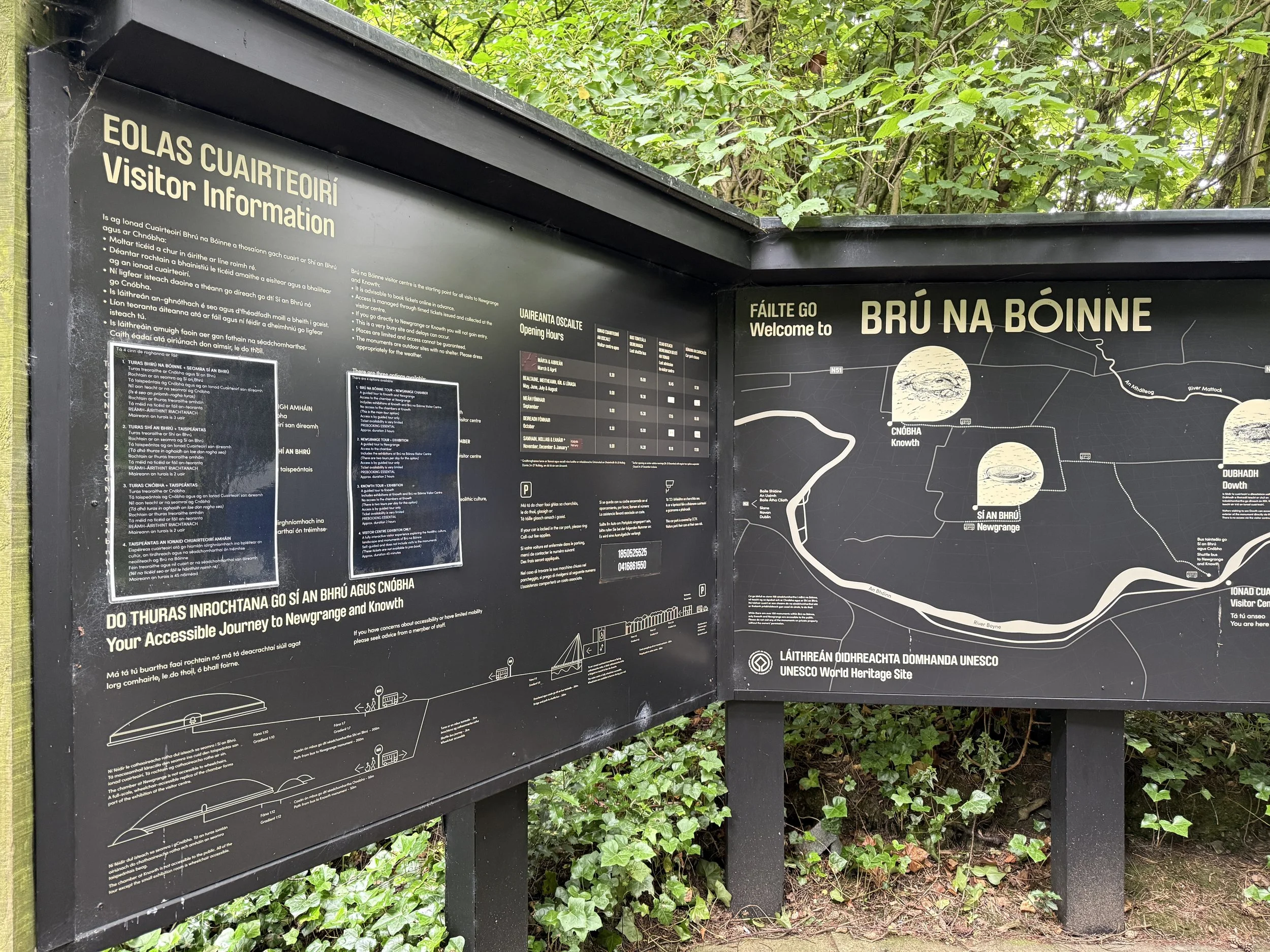
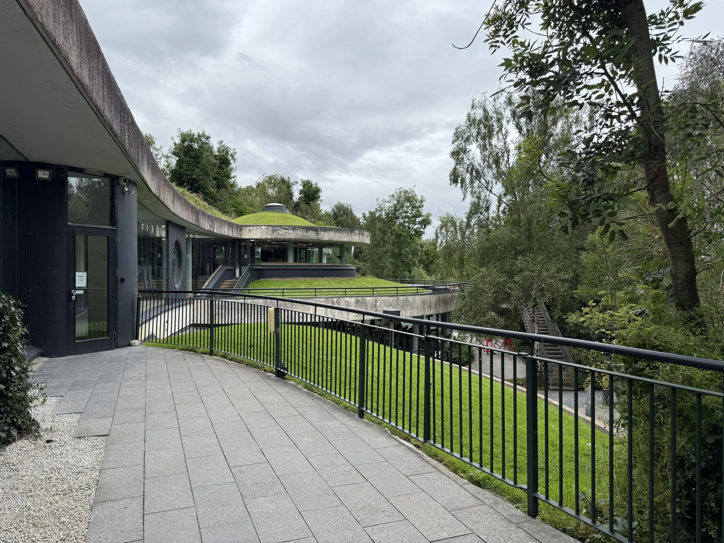
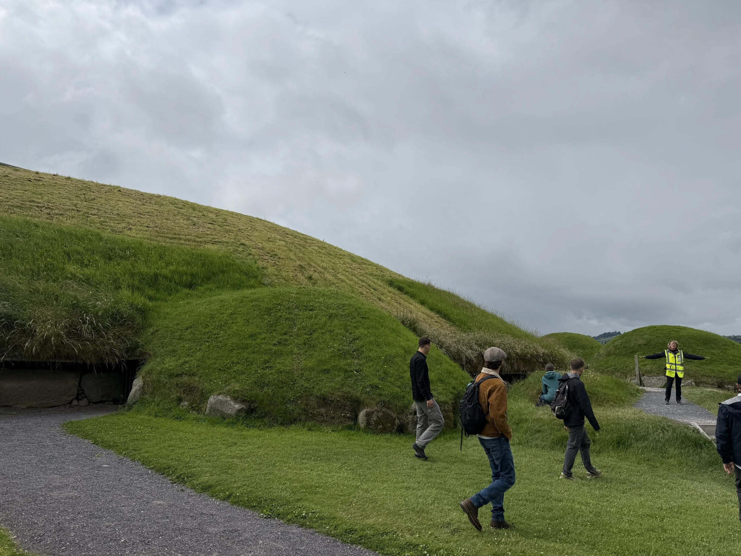
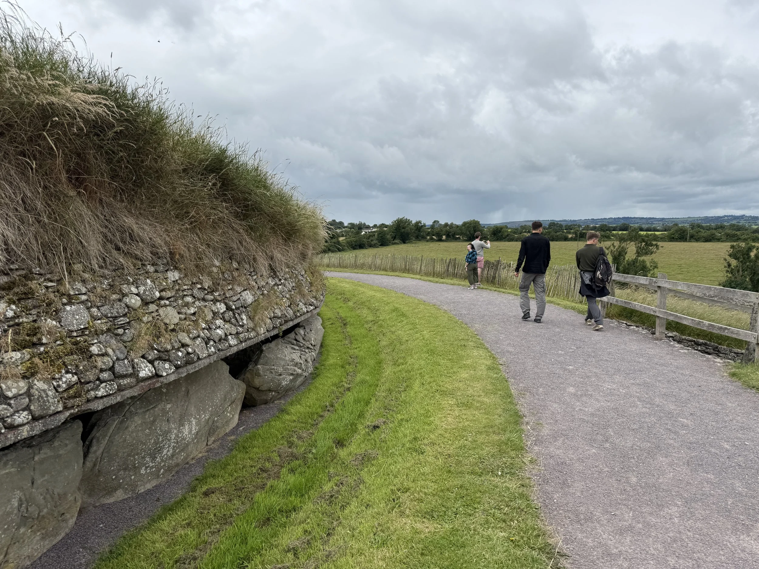
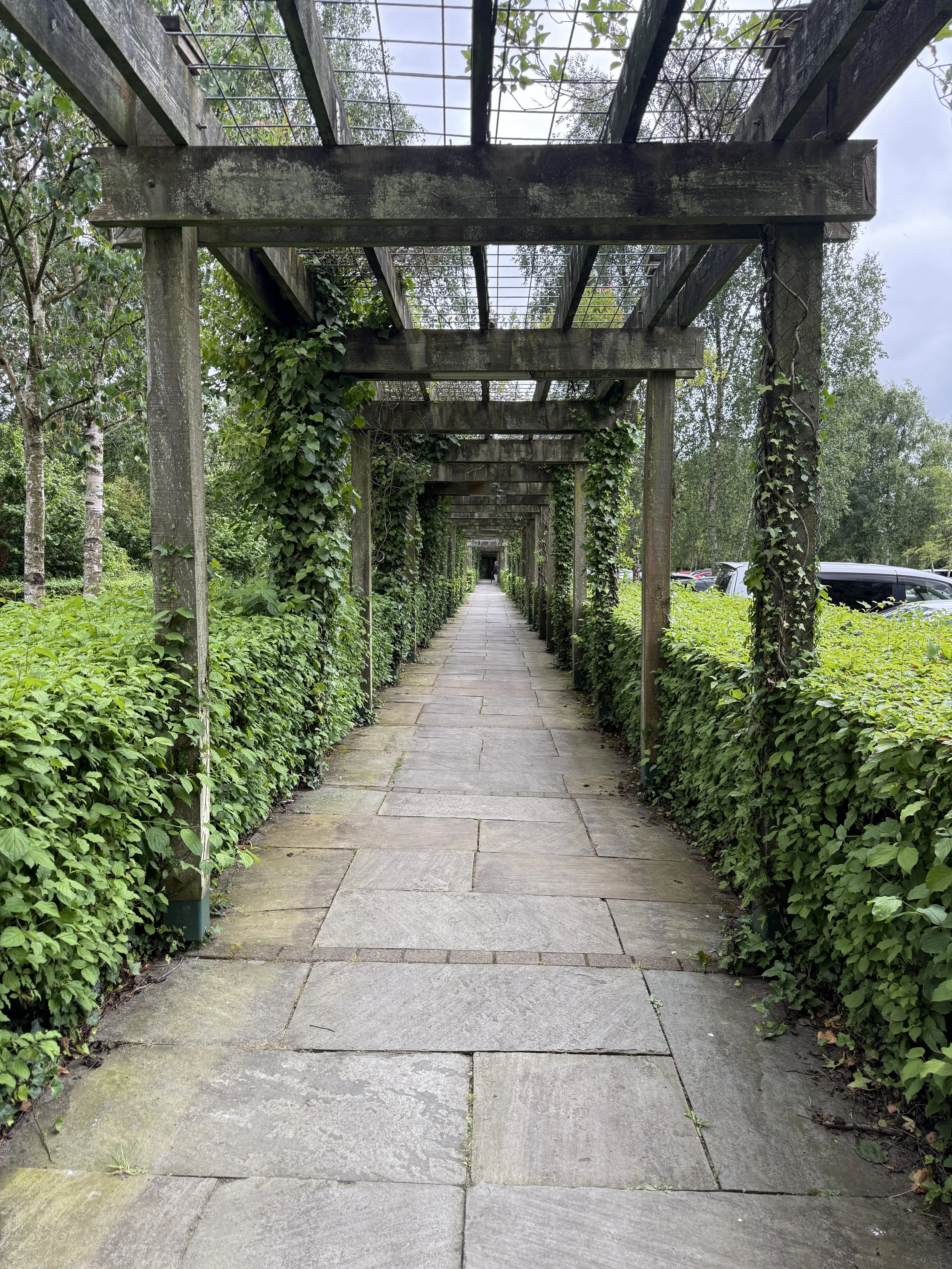
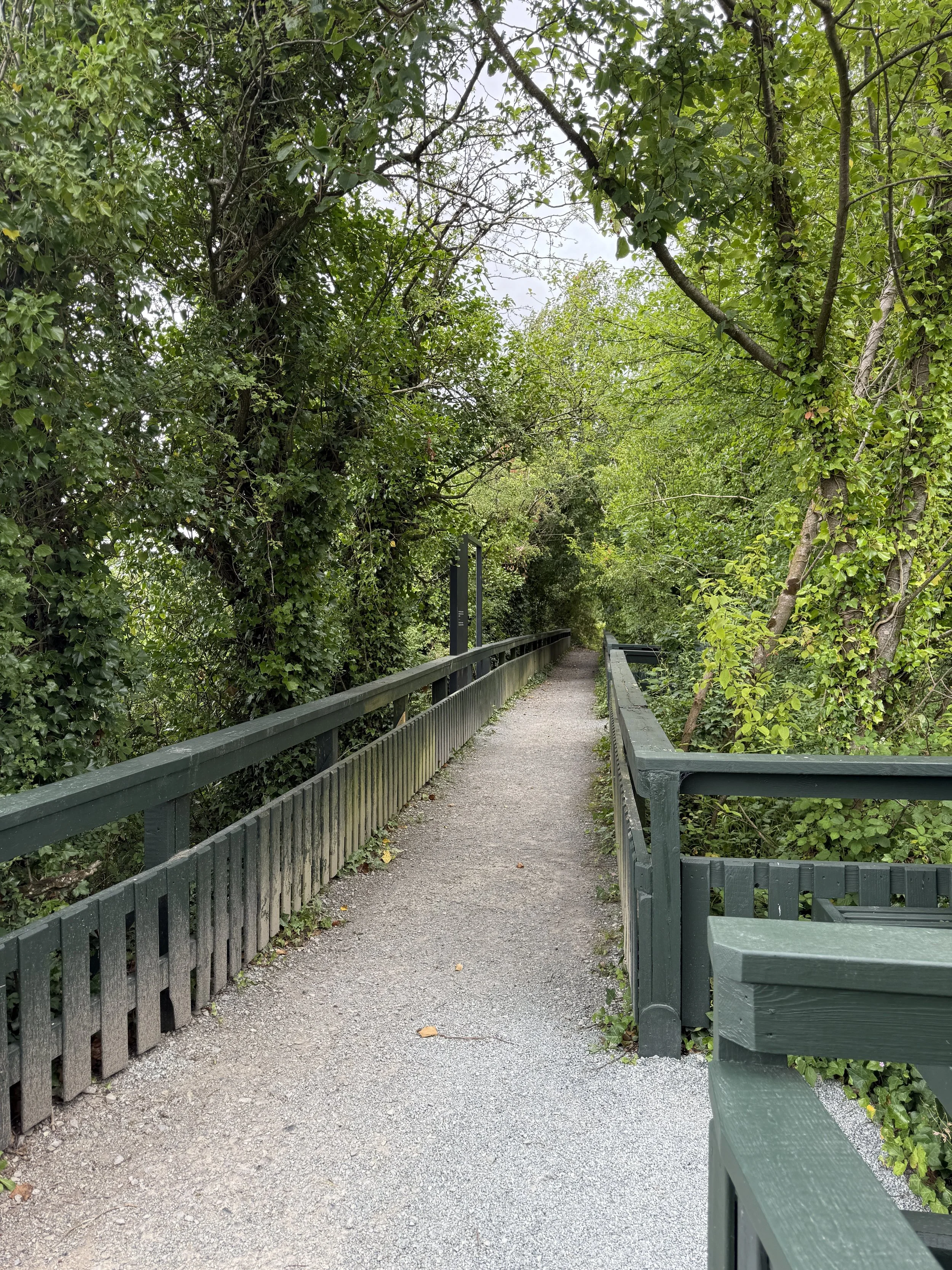
Established as a UNESCO World Heritage Site in 1993, Brú na Bóinne (translated to “palace of the Boyne River” from the Irish language) is a collection of Neolithic monuments and landscapes, most notably the passage tombs of Newgrange, Knowth, and Dowth. As a major hub for ancient re-discovery, Brú na Bóinne hosts a world class visitor center perched along the south edge of the Boyne River, designed by Anthony and Barbara O’Neill. The layout and design of the visitor center draw material and formality inspiration from the landscapes of the mounds themselves. A long meandering path through grass, stone, and paper birch trees leads one from the well-hidden parking lot to the main visitor entry, tucked into an approaching hillside. More stone, mud, grass, and water weave seamlessly through the interior and exterior of the building, with curved and circular forms represented in the walls and exhibits inside. Drawing inspiration from the famous Neolithic art at the base stones of the Brú na Bóinne mounds, informational and wayfinding signage rely on simple verbiage with stipple-like diagrams to communicate to visitors in a well-refined approach. Space plays a critical role in the success of this heritage expression. The Newgrange, Knowth, and Dowth mounds are located north of the Boyne River bend, meaning one must traverse a bridge from the visitor’s center to visit the heritage sites. The landscapes of the mounds themselves are simply maintained and strategically lack the inclusion of any modern design elements. This allows the visitors to quietly and respectfully revere the ancient spaces, granting the landscape to tell its own interpretation. True to Irish tradition, the curators of Brú na Bóinne’s historic spaces focus on oral traditions of experienced storytellers to recite both historical and speculative folklore of these beloved landscapes.
Giant’s Causeway, County Antrim
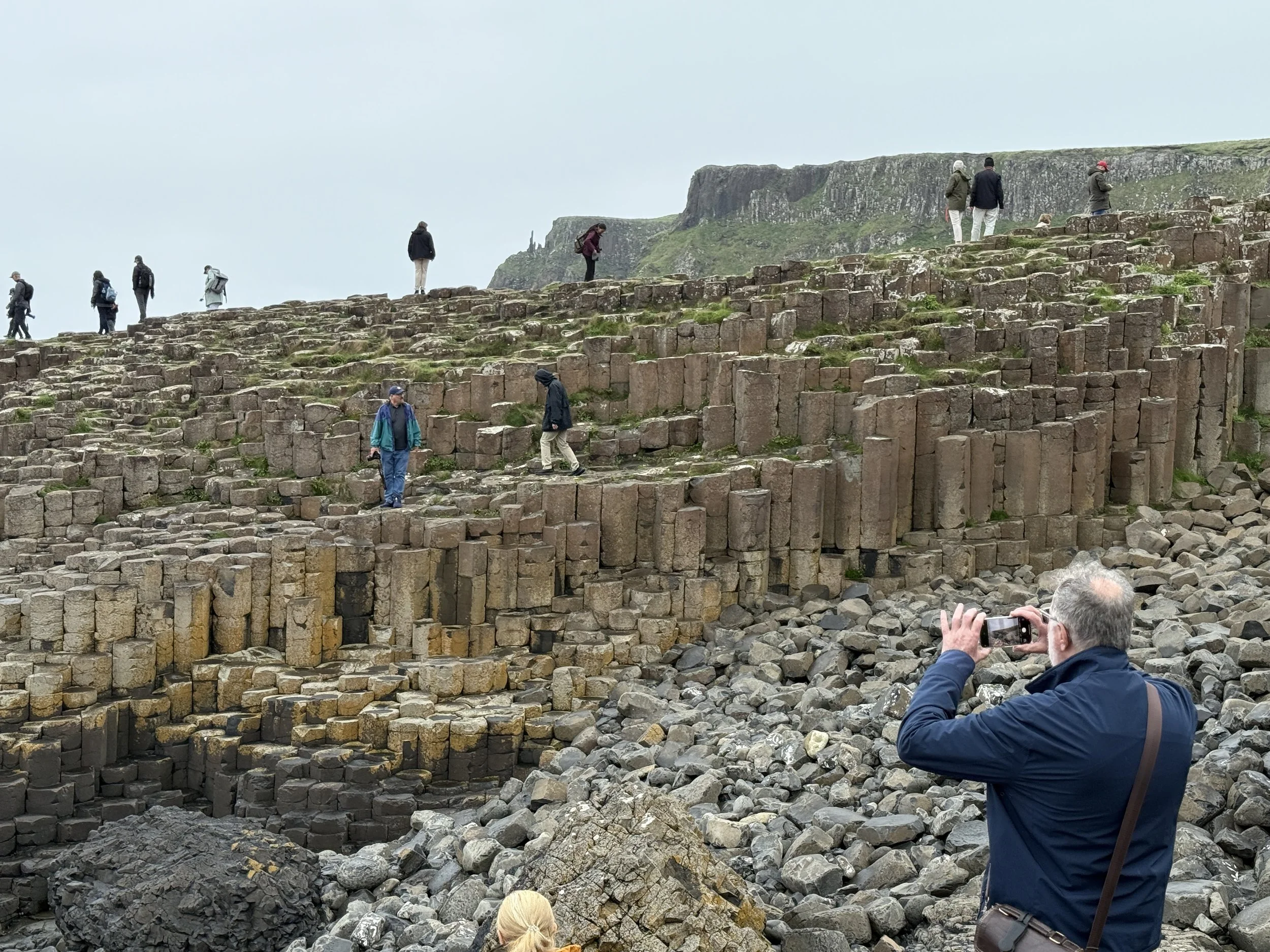
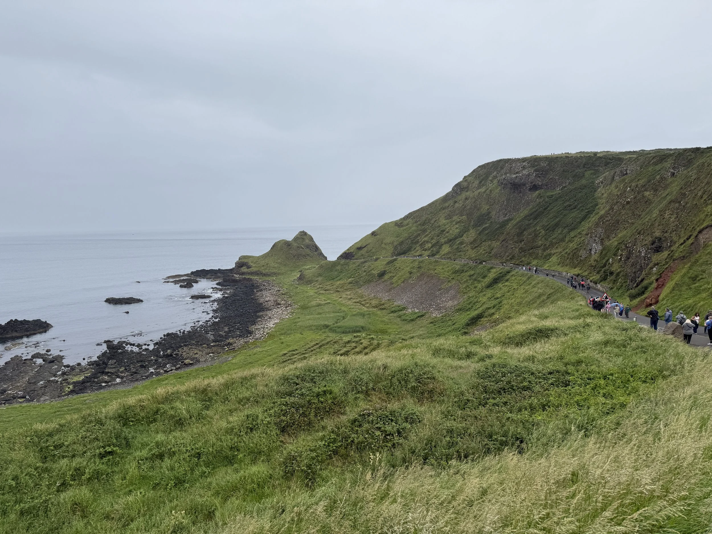
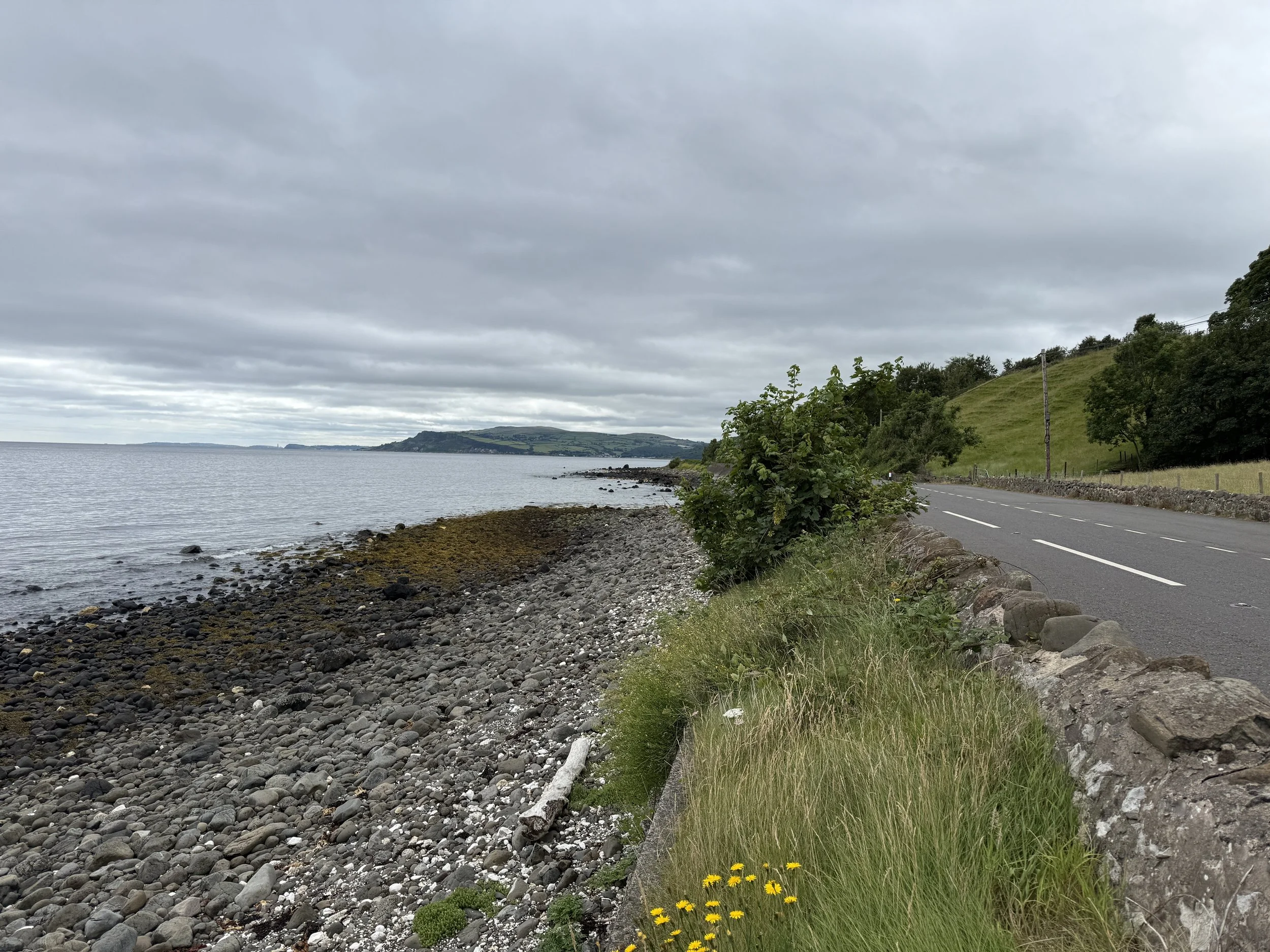
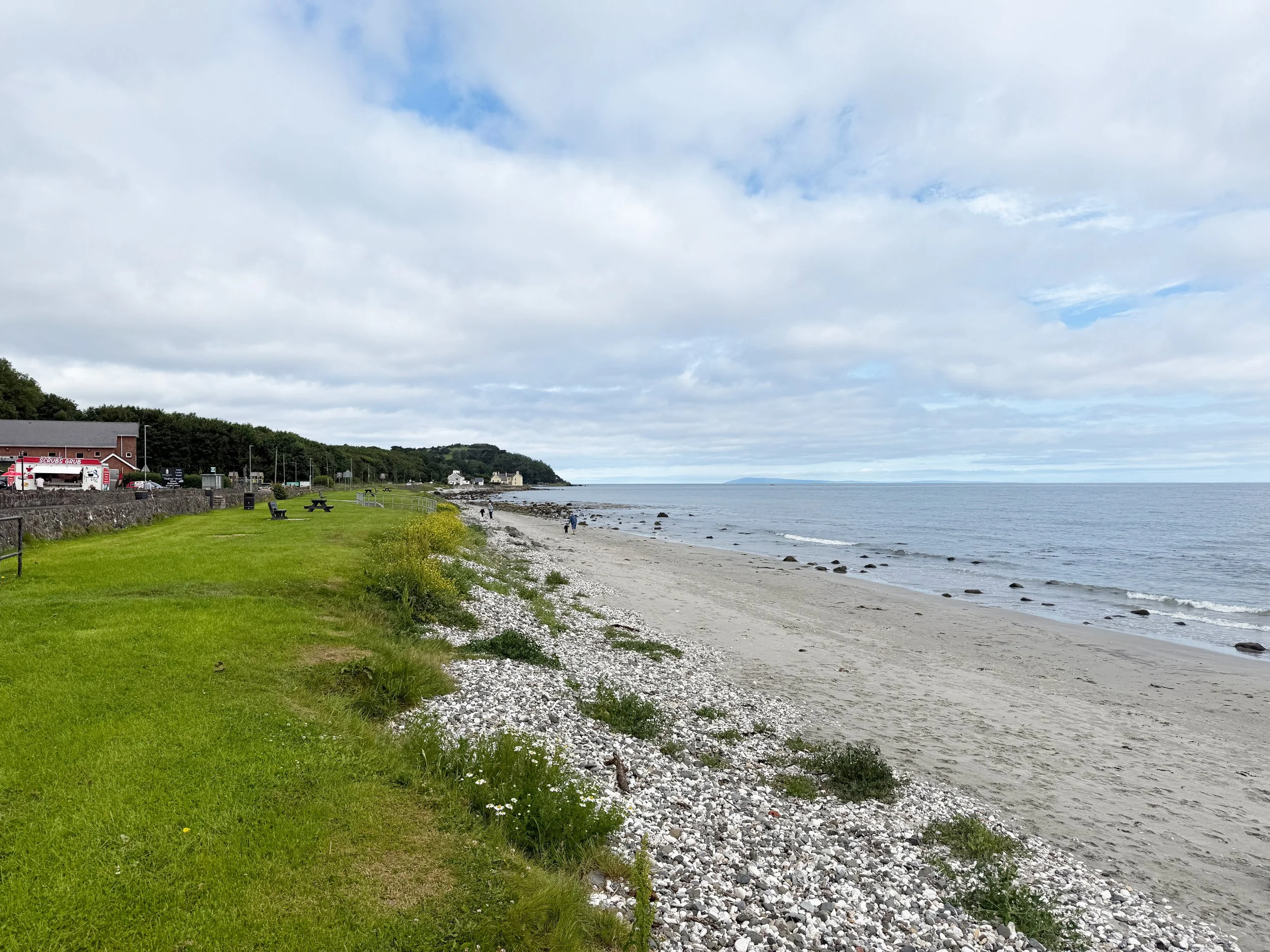
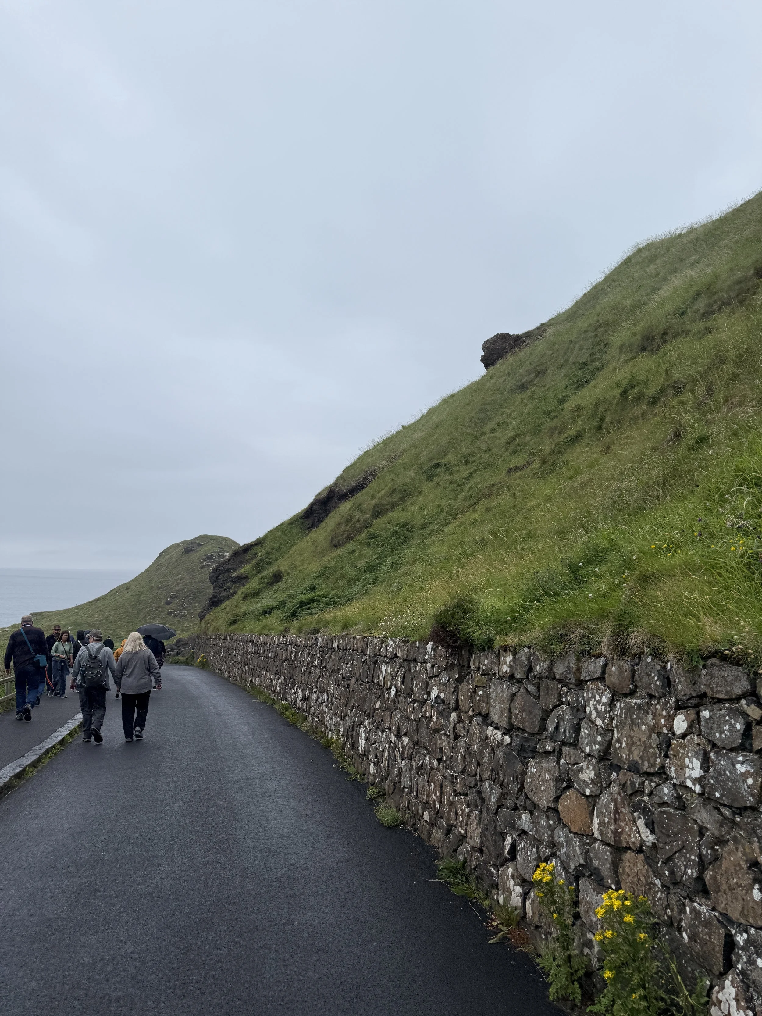
The Giant’s Causeway is a natural heritage site that occurs on the north coast of Northern Ireland. Formed from an ancient volcanic eruption that is estimated to have occurred nearly 60 million years ago, the resulting geological formations create a unique and mystifying landscape that has inspired deep Irish folklore for generations. After the previous visitor center was destroyed by a fire in 2000, the Irish firm Heneghan Peng Architects won a 2005 competition to redesign the popular destination, which eventually opened in 2012. Like the Brú na Bóinne visitor center, a focus on space, visibility, and inspiration from the landscape are prominent aspects of the design. The visitor center appears to lift out of the surrounding rock formations in two planes, providing access to the coastline pathway network via one plane, and sheltering the building and parking lot from the viewshed using the other. The dark color and many-sided shapes of the famous basalt columns along the site are mimicked in the design of the architecture and surrounding plaza, relying on simple and effective tactics that complement the natural history rather than compete with it. The coast of Giant’s Causeway includes a long primary path that takes one to the most prominent geological formations and collections of basalt columns, with additional hiking trails for the more adventurous visitors. There is minimal signage and few furnishings along the route as the Irish love to rely on the traditions of oral storytelling. Tours led by experienced storytellers are available in person and through voice recordings, each including colorful depictions of the natural heritage of the Causeway as well as its folklore. Legend suggests that two large giants battled on a former bridge that connected Ireland and Scotland to the north; an attempt to explain why the same geological formations existed on either side many miles apart. The natural beauty of this space is well reserved and respected by its Irish stewards and storytellers.
Political Landscapes
Forms of political oppression and violence take many shapes throughout human history. These lasting instances are not uncommon in the United States and images of horrific scenes in our streets seem to be all too familiar in recent years. The violence, and the actions taken in response, change our communities in fundamental ways. These changes begin to tell their own story in the ways that our cities are designed and function. As part of this Trek Fellowship, a specific conflict in Belfast is studied to better understand the impacts of political violence on our physical environments and how these difficult stories linger in the streets.
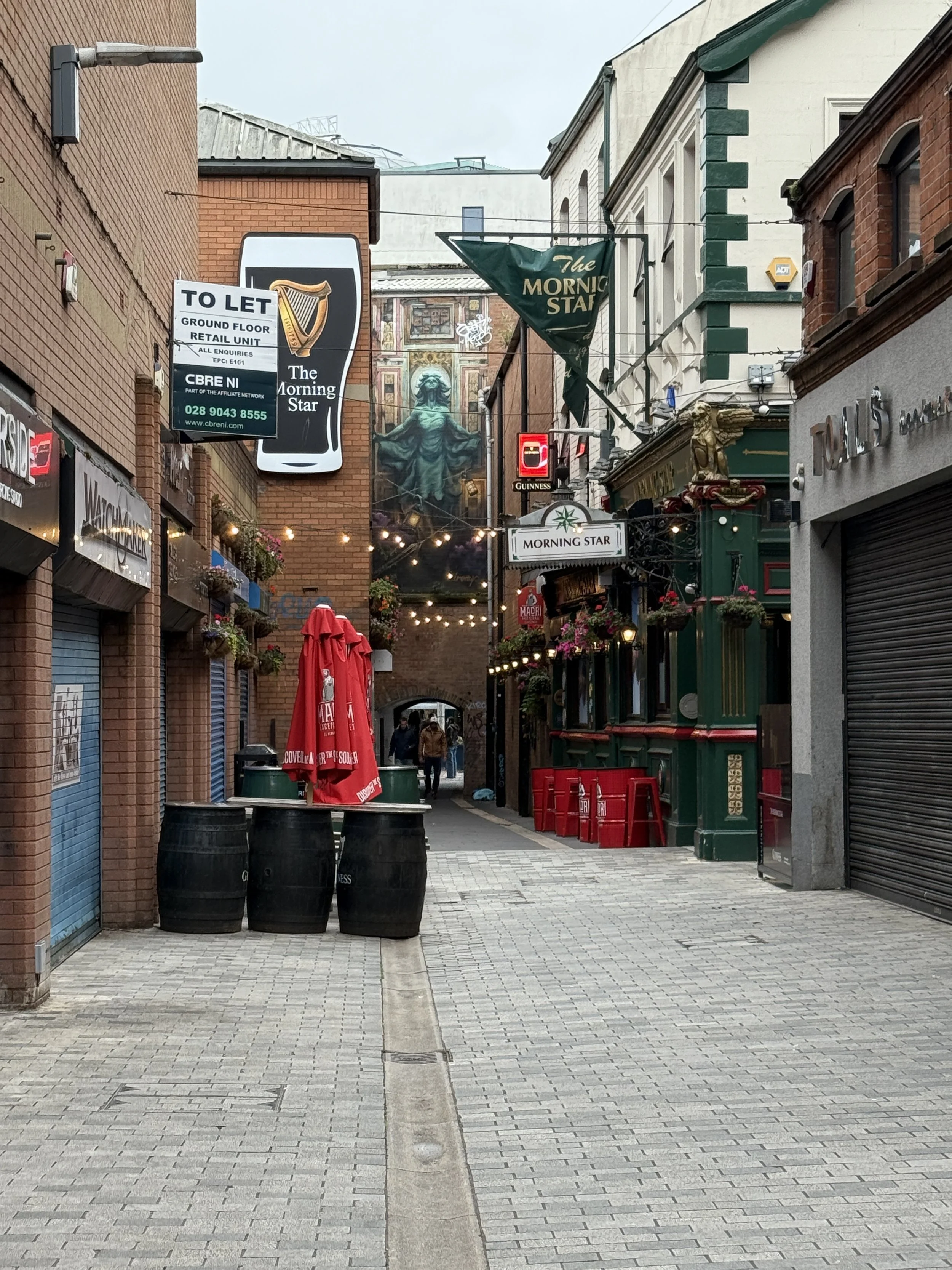
Belfast, County Antrim
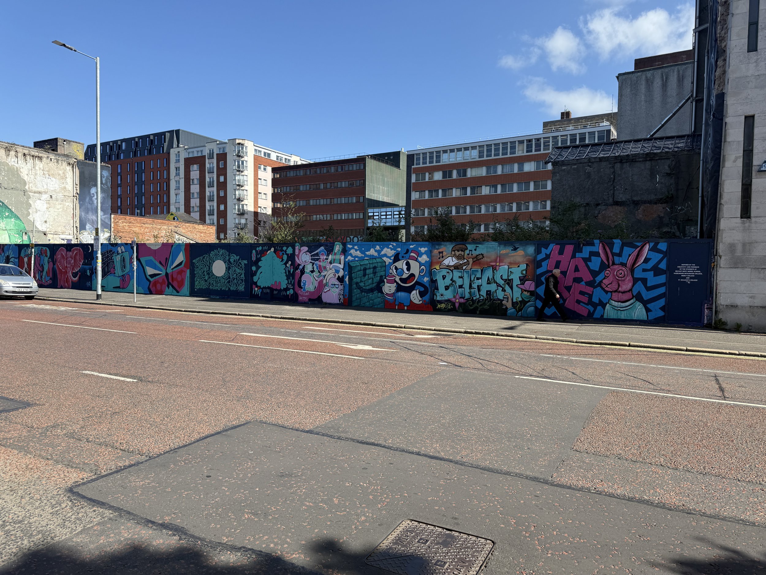


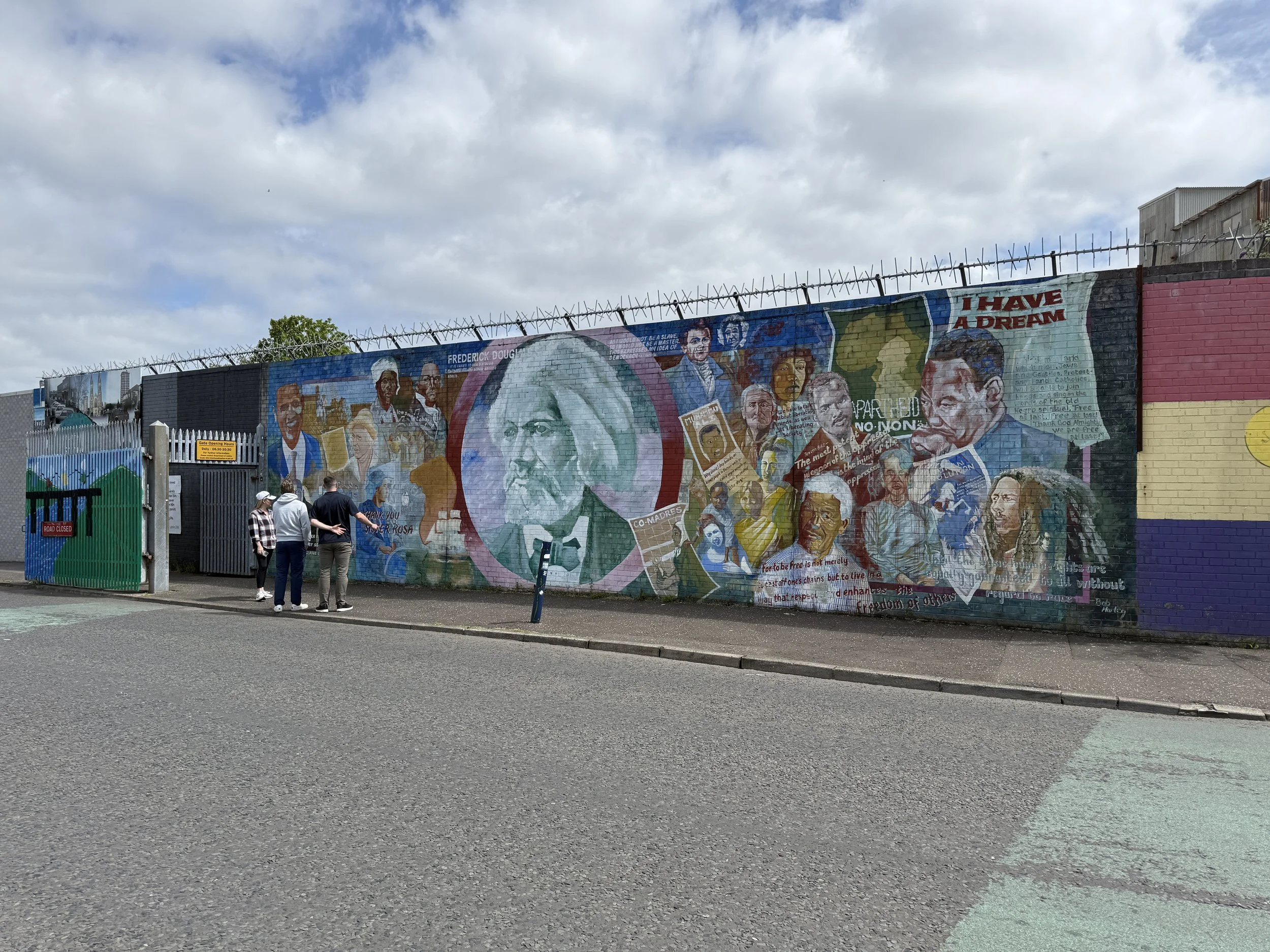
The Troubles were a period of mass resistance and violence between Catholics (republicans) and Protestants (loyalists) that occurred in Northern Ireland between the 1960s and 1990s. Inspired by the Civil Rights Movement in the United States, young Catholics (whose rights were often severely oppressed) in Northern Ireland rebelled against the more privileged Protestants and later the British military. Belfast in Northen Ireland was one of the more notable places where this conflict took place. Violence erupted on the streets as paramilitaries from either side of the community inflicted mass pain and destruction on one another and other innocent civilians. As a result, the City of Belfast itself had to evolve or risk total destruction. Over the course of the conflict, enormous “peace walls” were permanently constructed and military check points were established to act as a physical barricade in neighborhoods where Catholic communities border Protestant communities. Although the war officially ended in the 1990s, the walls still stand and the gates connecting the two communities are still locked down each night. The physical barriers were not the only stark reminder of The Troubles observed during this Trek Fellowship. The cultural divide between each side of the wall reinforced the continued animosity in the bifurcated city. Allegiances can be seen in store fronts, street art, murals, and even languages that indicate that the anger is far from absolved. Although The Troubles remain as an undeniable presence in Belfast, the city shows signs of life that are influenced by both tourism and migration into the city through two prominent universities. However, the relics of the war are ever present in the landscape of the city and act as a reminder of the generational trauma of political violence, even as the communities continue to carve out a future for themselves.

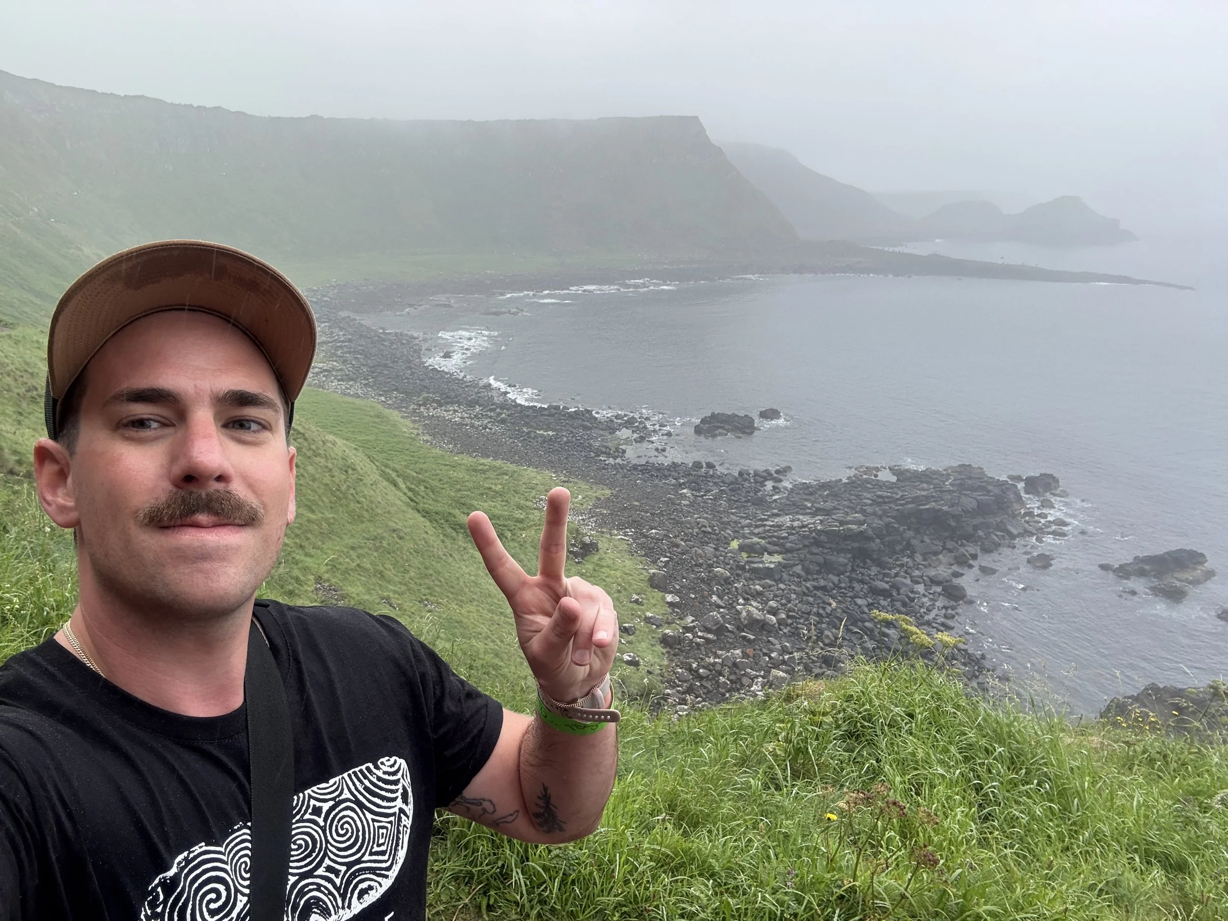
Jared Brocklehurst is a Landscape Architect and Urban Designer He joined MKSK shortly after graduating from The Ohio State University with his Master’s in Landscape Architecture. Jared is passionate about storytelling and using landscape design as a way to reveal the unique identity of a space. Living and working in Columbus, Ohio, Jared is especially inspired by urban, Midwest character. He leans on his passion and knowledge of the local community to push thoughtful and refined design. In addition to his degree from The Ohio State University, Jared holds a Bachelor of Science in Environmental Science from Loyola University Chicago and is a LEED Green Associate.