Land Bridge
An exploration of how we can connect people to land through cultural and ecological centric design.
The MKSK Trek Fellowship is a funded travel and research program open to MKSK professionals to explore critical issues in design, landscape, planning, and urbanism.
This Trek explored three of the six Confluence projects along the Columbia River Corridor in Washington and Oregon.
Objectives of the Research
The idea of ‘Land Bridge’ guided the objectives, tasks, and outcomes for this Trek research; that is, the concept of ‘Land Bridge’, not only as a physical artifact, but as an abstract way to think about connecting land, people, and history through art and native habitats using landscape as a vehicle.
The final outcome of the Trek was to link the successes of these spaces to MKSK’s work, by crafting a “land bridge tool kit” that can help guide designers and planners to capitalize on local resources, both human and natural, to encourage inviting, inclusive, and productive spaces to live, work, and play.
About Confluence
Confluence is a community supported non-profit that connects people to the history, living cultures, and ecology of the Columbia River System through indigenous voices. They support 6 river sites - 3 of which were part of the Trek fellowship study - educational programs, indigenous storytelling, and public gatherings, in collaboration with Northwest tribes, local river communities, and celebrated artist Maya Lin.
In January of 1999, historians as well as community and tribal leaders, began discussing how to commemorate the upcoming bicentennial of the Lewis and Clark expedition and agree the story should not perpetuate the myth that the explorers discovered the Columbia River. It was decided to invite Maya Lin to the conversation and ask her to design a series of public art installations along the Columbia River to tell a story of resilience instead. Tribal leaders discussed with Maya Lin how the Lewis and Clark bicentennial could be an opportunity to tell the story of the Columbia River from the perspective of descendants of the people the explorers met.
In 2002, Maya Lin began research and tribal consultations to inform and create designs of Confluence project sites.
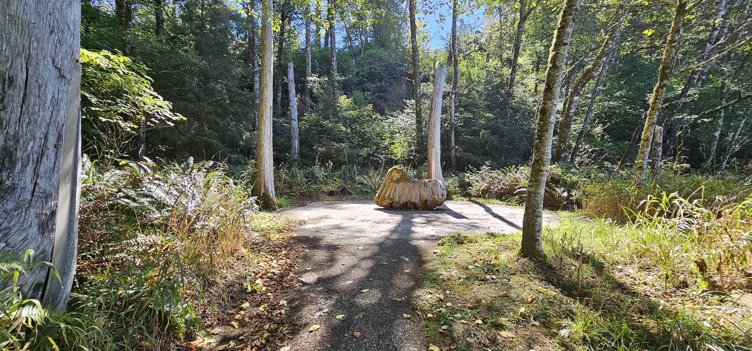
Land Bridge Typology 01: Cape Disappointment State Park, Ilwaco, Washington
Connecting the past with the present through native and culturally significant materials
Cape Disappointment was where Lewis and Clark arrived at the Pacific Ocean, the end point of their westward journey. The first documentation of the site was by a Spanish explorer in 1775 who named it Bahia dela Asuncion. Then, in 1788, an English fur trader named it Cape Disappointment when he mistakenly believed that the mouth of the Columbia River was only a bay.

Confluence projects occupy two areas of Cape Disappointment State Park: 1. the Ocean Side, which includes Baker Bay, and 2. the River Estuary.
Maya Lin observed that at both sites, the landscape had been obscured by parking lots and restroom facilities that were haphazardly placed. When she found out there were plans to expand parking, it spurred her concern and the park re-evaluated the transit and parking to determine they could reduce the parking and restore both the ocean grasslands and dunes and wetland estuary to a more native grass land landscape.

At Baker Bay, a significant amount of parking was reduced and a sustainable landscape was installed to naturally filter stormwater runoff before it hit the bay.

A path to a viewing platform was established to invite visitors right to the waters edge and enjoy an unobstructed view of the Baker Bay.

The rusty fish cleaning sink is replaced with an artistic, yet still functioning, fish cleaning table cut from a single polished block of native basalt. The table is inscribed with the Chinook creation myth – which talks of an eagle emerging from the body of salmon being cut, the eagle flies to a mountain visible nearby, lays an egg and the first people, the Chinook, come from that egg. It is an elegant reminder to fishermen whose homeland they are in.
Educational Opportunities:
Find a local story to celebrate and incorporate into the landscape.
Build a piece of history into your design or a story that is still significant to the present. Cape Disappointment incorporates separate but significant stories into four of their feature installations.
Use native materials for application of design elements.
Reveal, restore, reuse, or recycle materials native to either the landscape or prior use (in the case of urban areas).
Land Bridge Typology 02: Vancouver Land Bridge, Vancouver, Washington
Connecting through art and artifact
This site was the inspiration for the Trek Fellowship proposal. An article about the bridge led to the work of the Confluence and their work connecting people to land using indigenous voices. This 40’ wide earth covered pedestrian bridge is “a link back to the klickitat trail, Lewis & Clark, and the development of the northwest,” quoting Johnpaul Jones, the designer of the Landbridge. “It completes a circle that’s been broken.”

Welcome Gate by artist Lillian Pitt. It greets visitors, representing the way Chinookan peoples would welcome someone arriving by canoe – two cedar logs are topped with crossed canoe paddles, set with the cast-glass face of a chinook woman from the tribes of the lower Columbia River.

A railroad and a highway sliced through the site of today’s bridge cutting off the site from the river access that has given the place its historical importance. European and Native American cultures once converged on this site for trade (Hudson’s Bay Company), Lewis and Clark camped here and Fort Vancouver was built here not long after that convergence. Development of these transportation routes filled in the wetlands and a lake in this area. It also deleted native species in the area. This bridge not only reconnects the area to the river but reintroduces the native plantings from the past.

Overlooks along the path mark the river, the prairie and the village. Spirit baskets, also by Lillian Pitt, feature figures inspired by Columbia River petroglyphs. At each overlook, the words for river, land, and people appear in 9 native languages.
Until about the 17th century, the landscape consisted of patches of prairie, forest, and wetlands. Maya Lin, as she did for all the Confluence sites, reintroduced native species on that bridge – there is signage along the way to describe the different plants on the bridge.

Educational Opportunities:
Land Bridges can be for pedestrians, for wildlife, or both.
Find local artists for telling local stories.
The right art for the right space can speak so clearly to the story of the space.
Art does not have to be extravagant to have an impact - an element of repetition, a wayfinding sign, a word on a bench, a lighting detail, or a paving detail can make a special and memorable impact on a space.
Land Bridge Typology 03: Confluence Bird Blind- Sandy River Delta- Lewis & Clark National Historic Trail, Troutdale, Oregon
Connecting people to nature and wildlife through hiking and observation
Sandy River Delta is a natural area at the confluence of the Sandy and Columbia Rivers in Oregon. It is a part of the National Park Service’s Lewis and Clark National Historic Trail.

Confluence trail leads to the Bird Blind.
Maya Lin states that “the Bird Blind bears witness to the removal of the sandy river dam, allowing the river to return to its natural course.”
At one point in time, this entire 1,500-acre park was completely covered in invasive blackberries making the area impassable. The area was cleared and carefully restored, and it is in progress - returning back to forest and its natural state. The trails work their way through this restored landscape.

A 1.2 mile trail leads from the parking lot to the Bird Blind. A gently sloping accessible ramp marks the beginning of the Bird Blind experience.
More than 200 hundred years ago, William Clark reported that he couldn’t sleep because of the “horrid” racket made by the many birds in the Delta area. As the Sandy River Delta was being restored, Maya Lin became interested in putting a bird blind in the area. As the forest grows in around the blind, more birds will return to the area.
The blind is built of locally harvested black locust, a species that is considered invasive in the Northwest. This wood was selected to satisfy Lin’s criteria for sustainability and durability and could be carved with text.

Vertical slats are engraved with the current status (extinct, endangered, recovered, or flourishing) of the 134 species Lewis and Clark noted on the westward journey – over 35 percent of these species are currently extinct or threatened.
Educational Opportunities:
Hiking through an area, rural, park or urban, can inherently connect one to their immediate surroundings. Try to give people a different way to look at their surroundings.
Create destinations within your site to encourage observation, learning, and contemplation.
Build text, images, or story boards into hiking paths or at destinations integrated within the path.
Design to encourage native wildlife to inhabit or return to a space. Use native plantings that relate and support birds, insects, or other animals of the area.
Consider opportunities to use locally harvested materials.
Restore lost landscape, and tell the story of the space.

Amy Kaye Taylor believes that how we interact with our environment is influenced by our encounters with nature and outdoor spaces. She also believes those experiences are interrelated to the overall health of our bodies and minds. Amy Kaye continues to explore the interplay of human interconnectedness with the natural world, recognizing the differing needs in both rural and urban settings. Throughout her journey as landscape architect, Amy Kaye has designed for a variety of ages and abilities, as well as spaces at multiple scales and densities. Amy Kaye strives to design for the human experience within a place to create landscapes that balance aesthetics, culture, functionality and biodiversity creating a lasting impact on how we interact with our surroundings.